A Strava map poster, from your own activities.
Everything you have logged on Strava — rides, runs, walks, a whole year or a single day — drawn over the real land you covered and printed. Strava exports GPX, which is exactly what we read.
Made from real routes.
Every sheet below was rendered with the settings a print order uses.
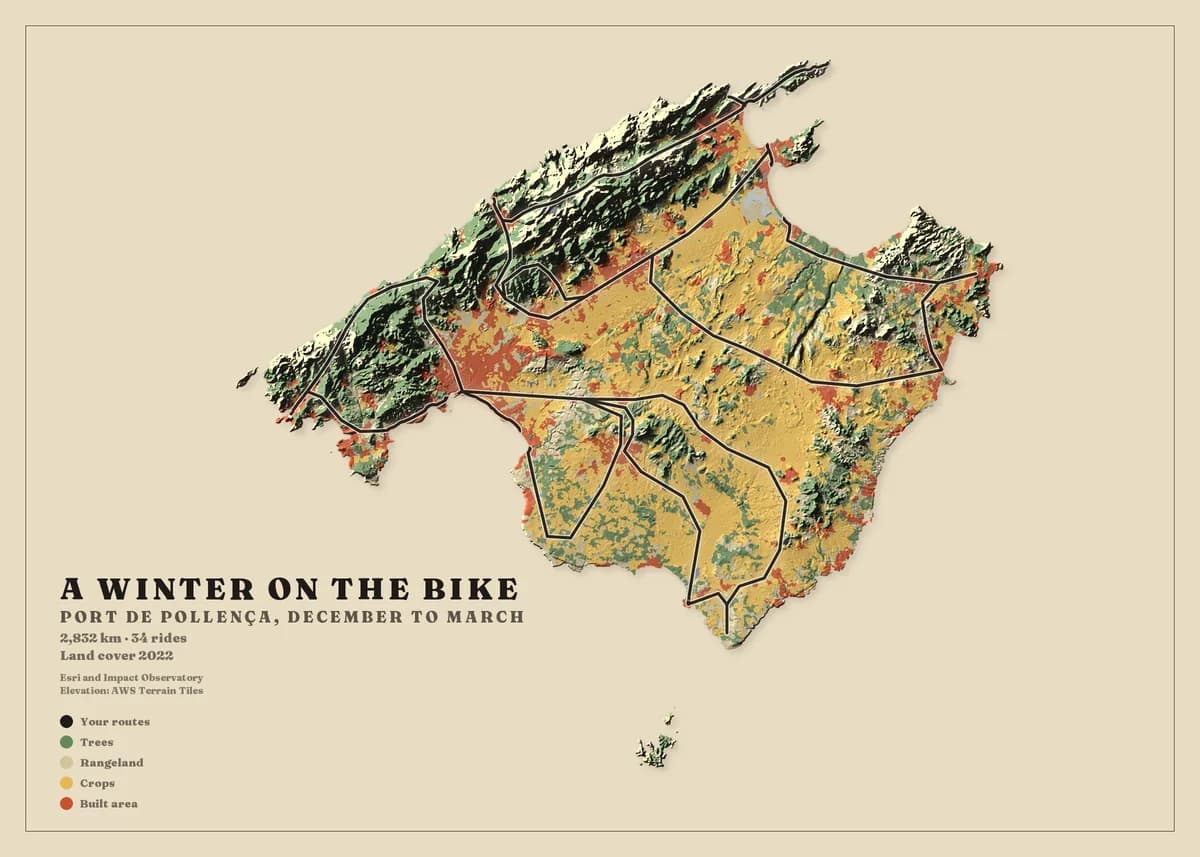
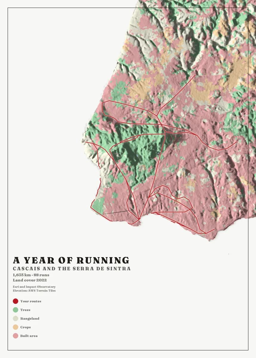
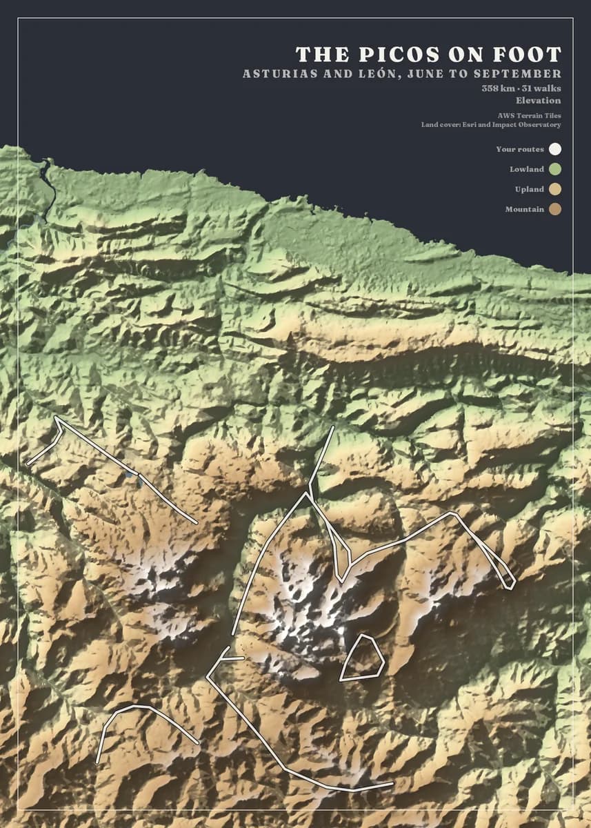
One activity or the whole account
Strava hands over a single activity in seconds and a full archive by email in a few hours. Both arrive as GPX, and both upload as they come — one file, a folder or the zip.
No account linking
We never ask for your Strava password or an API connection. You download the export; we read the files. Delete any of it from your account whenever you like.
Rides and runs on one sheet, or apart
Keep the whole year on one map, or choose only the rides, only the runs, or a single block of training on the review screen.
Three steps, no design skills.
- 01
Upload your routes
Export your activities from Strava, Garmin, komoot or Waze, or bring a GPX or KML file from any app. Upload one file or a whole archive and we find every route in it.
- 02
Design your map
Choose the area — a city, a mountain range or a whole country — then the map style, colours, frame and title. The preview updates as you go, and designing is free.
- 03
We print it and deliver it
Your map is printed to order at 300 dpi on heavyweight matte art paper, then framed, hung on a wooden hanger or rolled in a tube, and delivered to your door ready to hang.
Designing is free. Rolled prints from €49, framed from €119, delivery included. Every size and price.
Before you upload your Strava files
Yes, but in the format each was uploaded in. Activities recorded in the Strava app are GPX and import directly; watch uploads stay as .fit.gz or .tcx.gz, which we do not read — export those activities individually, or from Garmin Connect, as GPX.
No. The poster is your own routes over real terrain, drawn once each and counted. It is not Strava's heatmap and carries no Strava branding.
Yes. Export that activity alone and the poster frames the route, with the distance printed under your own title.
Your Strava activities could be next.
Upload your files and see your own map in about a minute. Designing is free; you only pay for the print.