A hiking map print of the trails you walked.
A summer in one range, a thru-hike, a long trail done in stages. Hiking is the activity the terrain was made for: the ridges, valleys and rivers under your line are drawn from real elevation, so the map shows the ground as you remember it.
Made from real routes.
Every sheet below was rendered with the settings a print order uses.
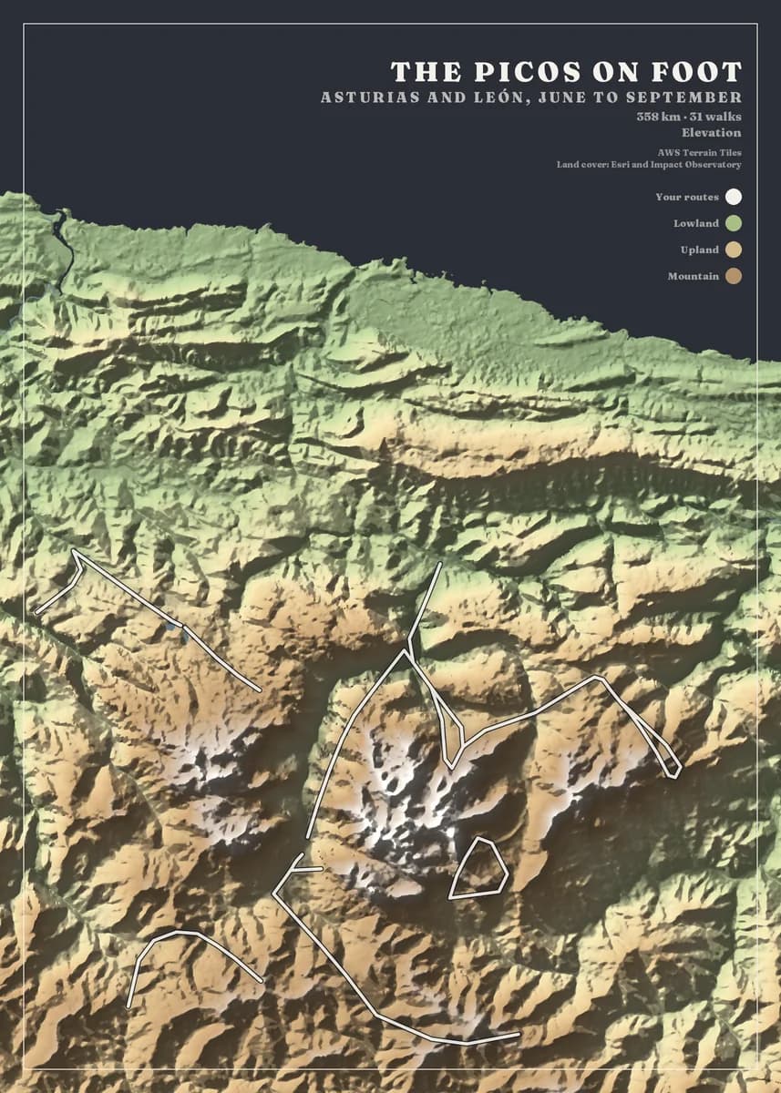
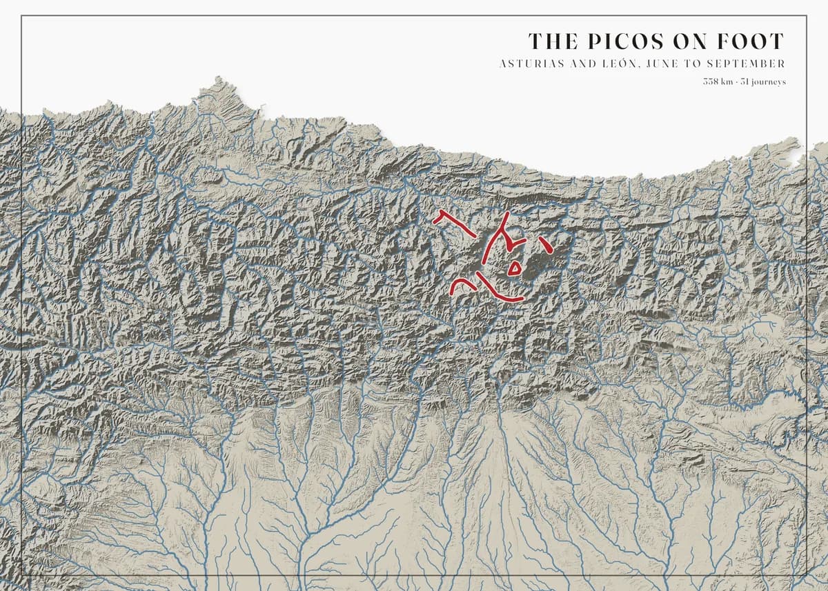
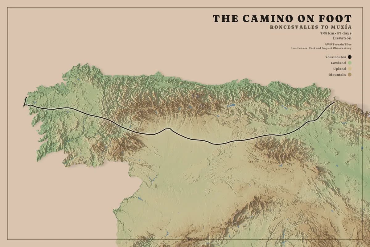
Relief you can read
Elevation is drawn with shaded relief and cast shadows, so a ridge walk looks like a ridge walk. The Elevation and Rivers & lakes styles were made for mountain country.
One valley or half a country
A week in one range fits a 40 km frame; a pilgrimage route needs 743 km. Both are in the gallery, drawn at the same detail.
Walks from any app
AllTrails, komoot, OsmAnd, Organic Maps, Garmin Connect — anything that writes GPX imports, one file or a whole folder.
Three steps, no design skills.
- 01
Upload your routes
Export your activities from Strava, Garmin, komoot or Waze, or bring a GPX or KML file from any app. Upload one file or a whole archive and we find every route in it.
- 02
Design your map
Choose the area — a city, a mountain range or a whole country — then the map style, colours, frame and title. The preview updates as you go, and designing is free.
- 03
We print it and deliver it
Your map is printed to order at 300 dpi on heavyweight matte art paper, then framed, hung on a wooden hanger or rolled in a tube, and delivered to your door ready to hang.
Designing is free. Rolled prints from €49, framed from €119, delivery included. Every size and price.
Before you upload your hiking files
Yes. Upload every section and they join on the map. The Camino sheet in the gallery is 37 days of walking on one frame.
Off-road, the poster draws the recording exactly as your device made it, so a noisy track stays noisy. Trim the worst sections in your app before exporting, or choose a thinner line in the studio.
The map shows the land and your routes, with a title block you write yourself. It is not a topographic map with labels; it is the ground you covered, printed.
Your hiking could be next.
Upload your files and see your own map in about a minute. Designing is free; you only pay for the print.