Nine styles. All of them real data.
Each style draws the land from public data: coloured and shaded with relief, traced as rivers, or stacked into lines. Pick the look, then your routes go on top in ink.
- Data styles
- 9
- Palette moods
- 5
- Ground presets
- 6
Data styles
Palette moods
Ground presets
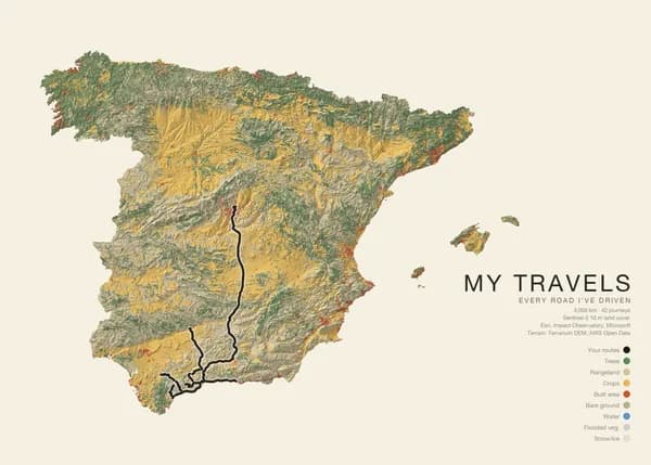
Land cover
Real renderForests, crops, towns and bare ground painted over shaded relief.
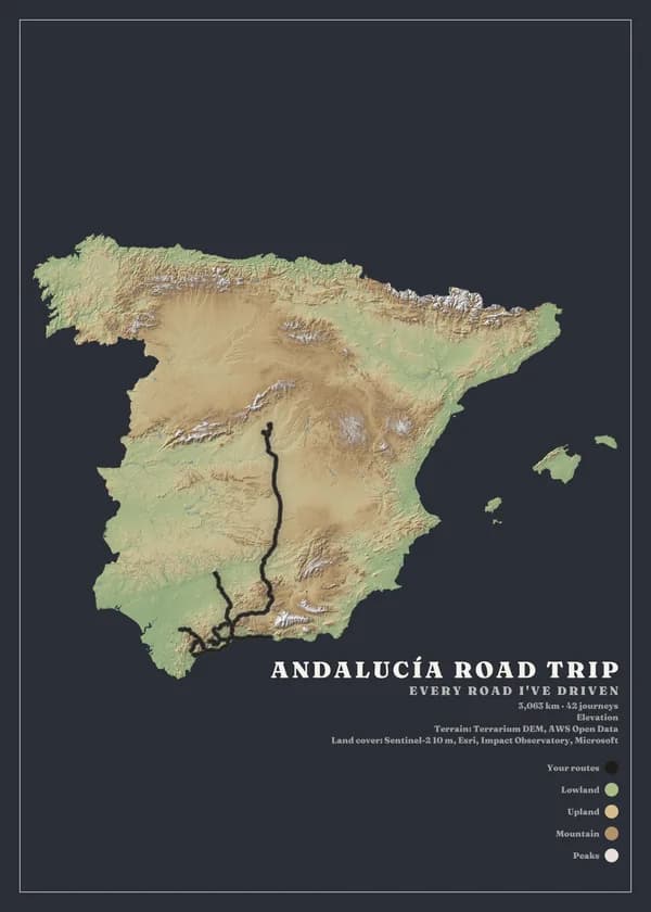
Elevation
Real renderColours by height, from lowland greens to pale summits.
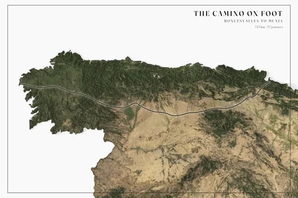
Satellite
Real renderTrue-colour imagery from orbit, sharpened by shaded relief.
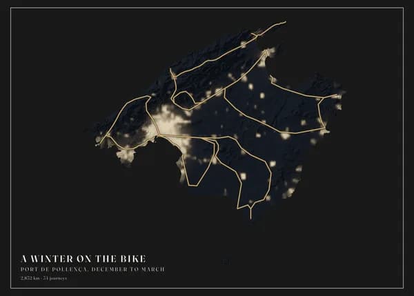
Night lights
Real renderCity lights glowing on a dark background; best with gold or white routes.
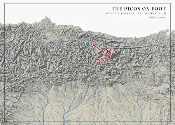
Rivers & lakes
Real renderThe drainage network in steel blue over soft grey relief.
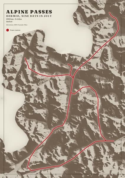
Ink relief
Real renderSingle-tone shaded relief, like an engraving; the palette tints the ink.
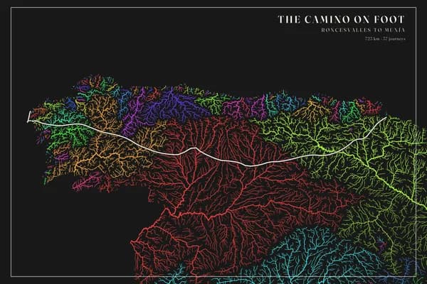
River basins
Real renderEvery river and stream, each river system in its own colour, on a dark ground.
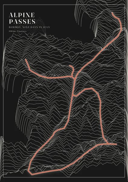
Ridgelines
Real renderThe land as stacked lines that rise over the mountains, light on a dark ground.
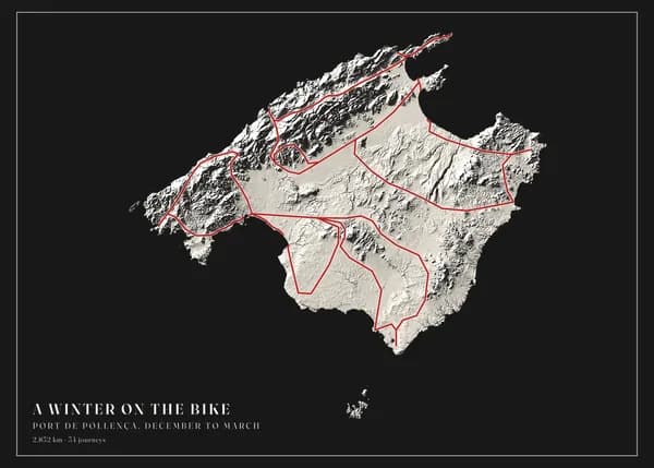
Plaster relief
Real renderOne pale tone carved by light and shadow, like a museum plaster model.
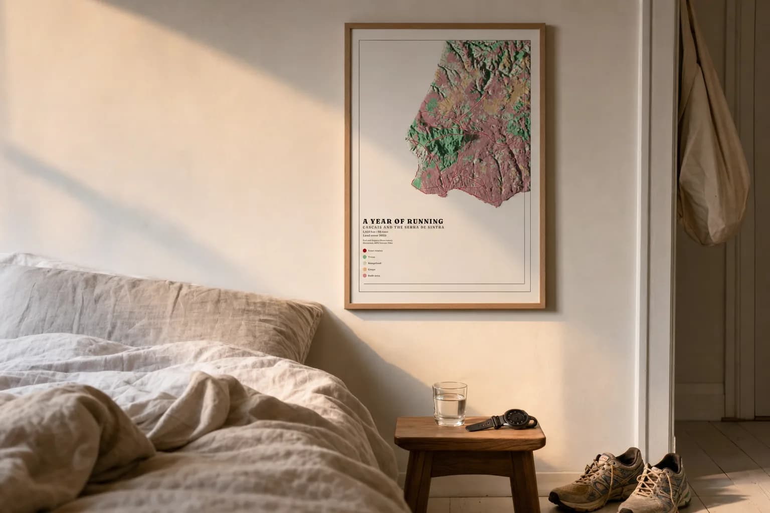
The style is not a filter. It changes what the land is made of.
Elevation reads as landform, land cover reads as colour, night lights read as population. The same summer reads differently in each, which is why the studio lets you switch without starting over.