From your phone to your wall.
Three simple steps and no design skills needed. Designing is free — you only pay when you order a print.
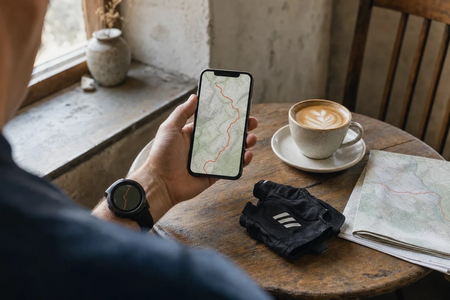
Upload your routes
Export your activities from Strava, Garmin, komoot or Waze, or bring a GPX or KML file from any app. Upload one file or a whole archive and we find every route in it.
Your files are encrypted in transit and stored privately. You can delete a single route, an upload or your whole account at any time.
Design your map
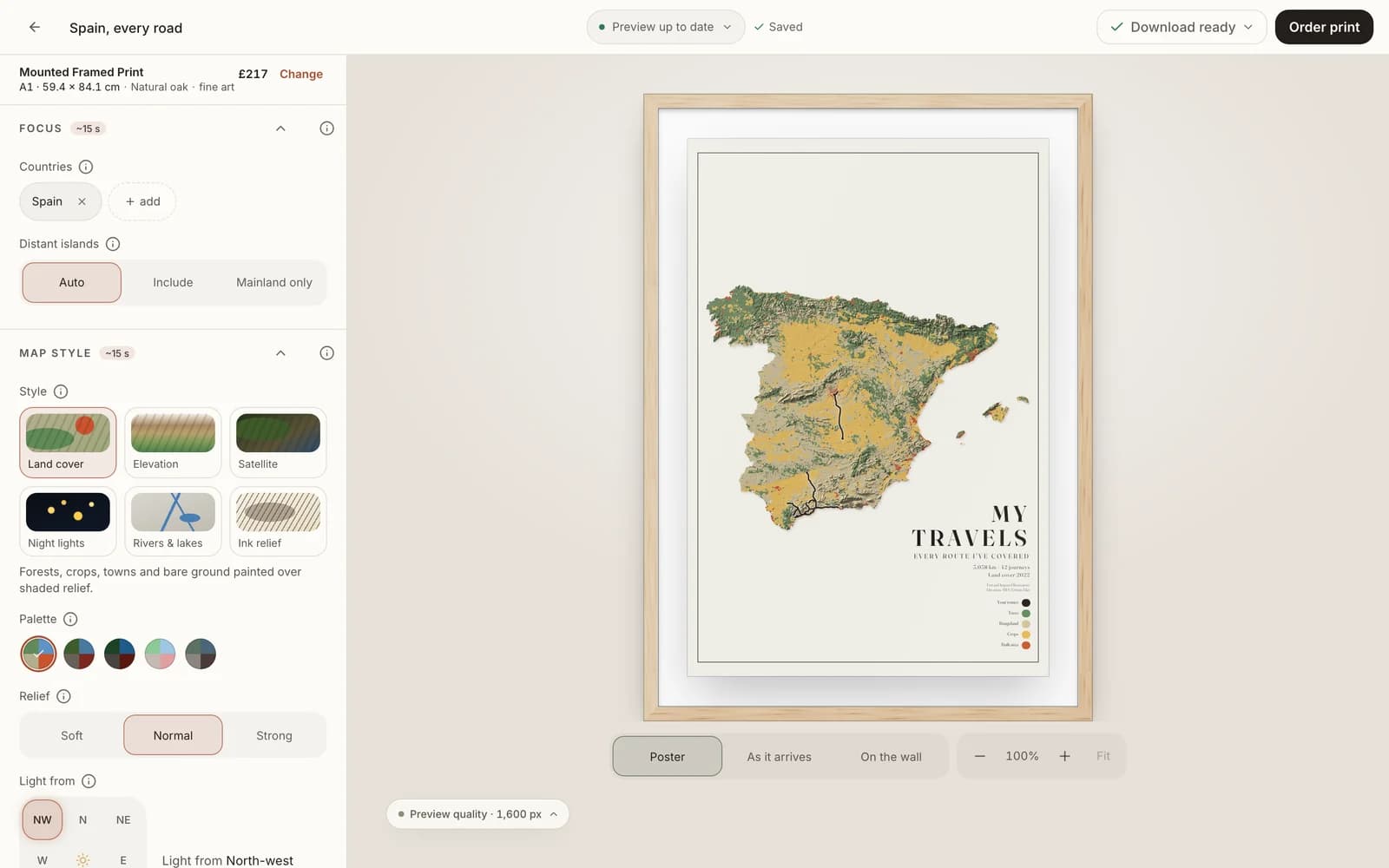
Choose the area — a city, a mountain range or a whole country — then the map style, colours, frame and title. The preview updates as you go, and designing is free.
Pick a whole country, the area around your routes, or draw your own frame. Choose from nine map styles, then set the colours, relief, paper, frame and your own title.
We print it and deliver it
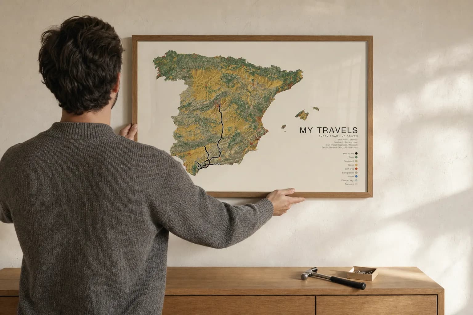
Your map is printed to order at 300 dpi on heavyweight matte art paper, then framed, hung on a wooden hanger or rolled in a tube, and delivered to your door ready to hang.
Printed by a professional lab near you, usually within three working days, then shipped with delivery included in the price. Framed prints arrive ready to hang.
Where your routes are
From a watch or bike computer
Garmin Connect, Strava and komoot export every activity as a GPX file. Many devices also let you copy GPX files straight off the device.
From your phone
Download your Waze history in one go, export GPX from Strava, komoot, OsmAnd or Organic Maps, or KML from Google Earth and My Maps.
Mix and match
Combine runs from your watch with road trips from your phone on one map, or keep them apart. You choose which routes go on each map.
Step-by-step export guides for every app are on the export guides page.
Not sure where your routes are? Read the export guides.