A cycling map poster made from your own rides.
A winter of training loops, a bikepacking route, the same climb ridden forty times. Upload your rides and we draw them over the real terrain — the mountains you climbed, not a street grid — then print it for your wall.
Made from real routes.
Every sheet below was rendered with the settings a print order uses.
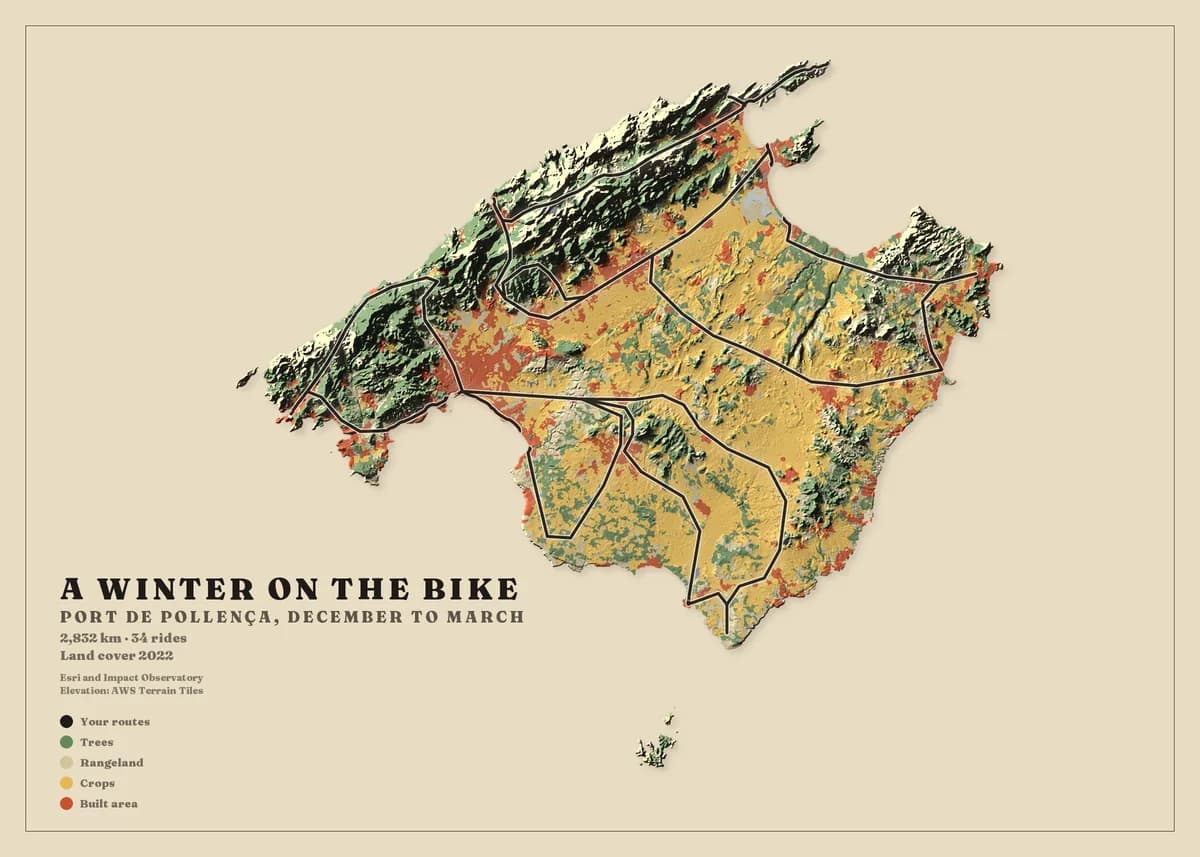
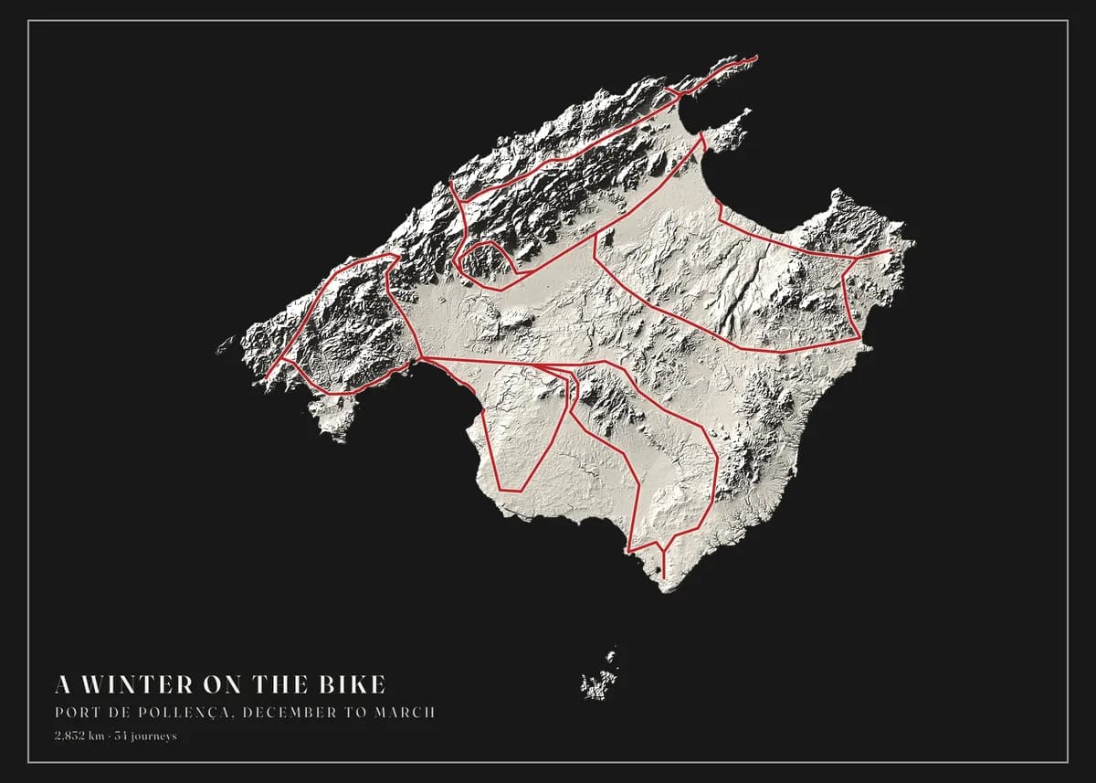
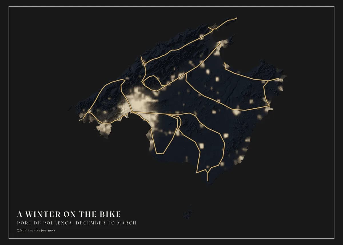
Repeated climbs read as one clean line
The same road ridden all winter is drawn once and counted every time, so a training block reads as ink rather than a smear. The Mallorca sheet in the gallery carries 2,832 km across 34 rides on a frame 157 km wide.
The relief is real
Elevation and land cover come from public 10-metre data. The Serra de Tramuntana is drawn where it stands, in the shading a cyclist recognises, not as a tinted background.
Any bike computer, any app
Garmin, Wahoo, Strava, komoot — if it exports GPX, it imports. Upload a single ride or your whole archive in one go.
Three steps, no design skills.
- 01
Upload your routes
Export your activities from Strava, Garmin, komoot or Waze, or bring a GPX or KML file from any app. Upload one file or a whole archive and we find every route in it.
- 02
Design your map
Choose the area — a city, a mountain range or a whole country — then the map style, colours, frame and title. The preview updates as you go, and designing is free.
- 03
We print it and deliver it
Your map is printed to order at 300 dpi on heavyweight matte art paper, then framed, hung on a wooden hanger or rolled in a tube, and delivered to your door ready to hang.
Designing is free. Rolled prints from €49, framed from €119, delivery included. Every size and price.
Before you upload your cycling files
Yes. One sportive, one bikepacking trip or one pass loop. The frame shrinks to fit the route, so a 150 km day fills the sheet with the same detail a whole season gets.
You choose which rides go on the map on the review screen before you design anything. Rides without GPS, such as turbo sessions, carry no route and are simply left out.
Land cover and Elevation show the climbs most clearly. Plaster relief and Ridgelines turn a mountain range into a graphic, and Night lights suits rides around a city.
Your cycling could be next.
Upload your files and see your own map in about a minute. Designing is free; you only pay for the print.