A road trip map print of every road you drove.
A fortnight across Spain, years of weekends in Portugal, the move that crossed a continent. Driving covers whole countries, so the map does too — the country cut out of the paper, coloured from satellite land cover, with your roads inked across it.
Made from real routes.
Every sheet below was rendered with the settings a print order uses.
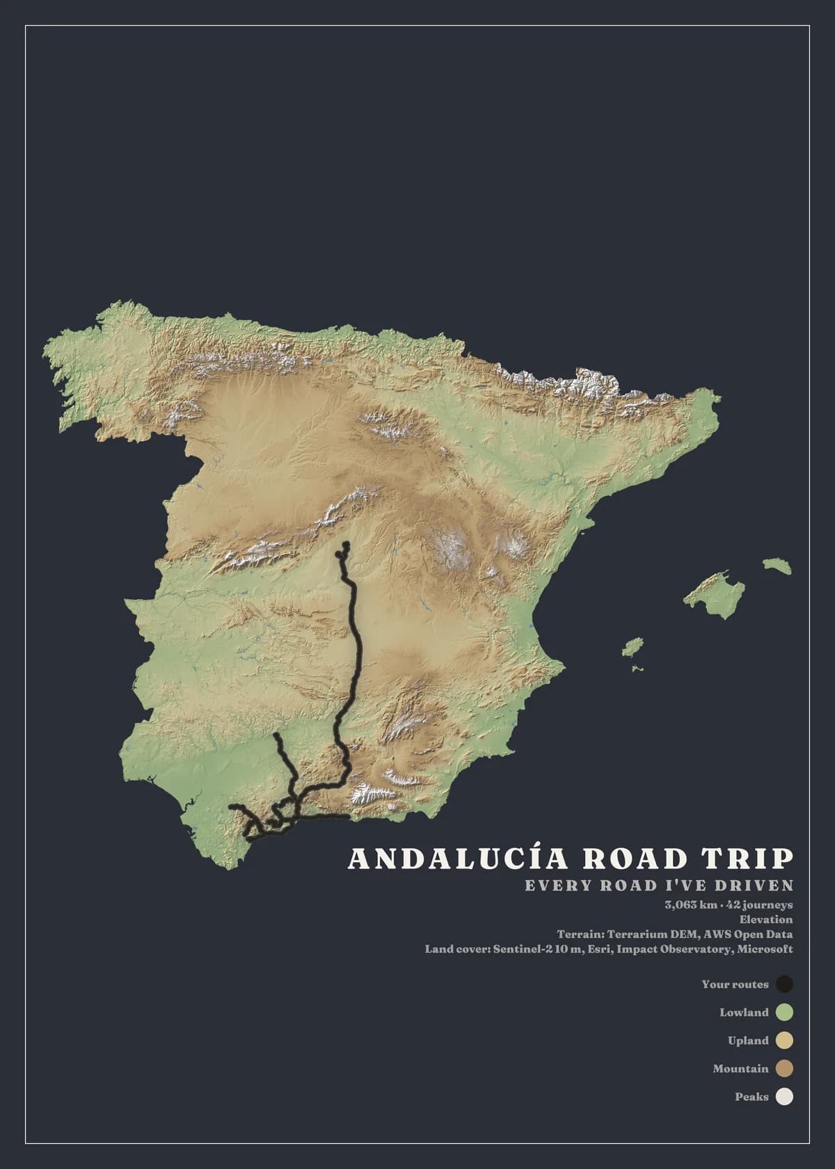
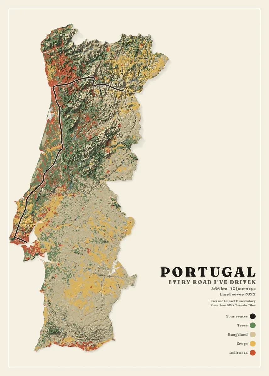
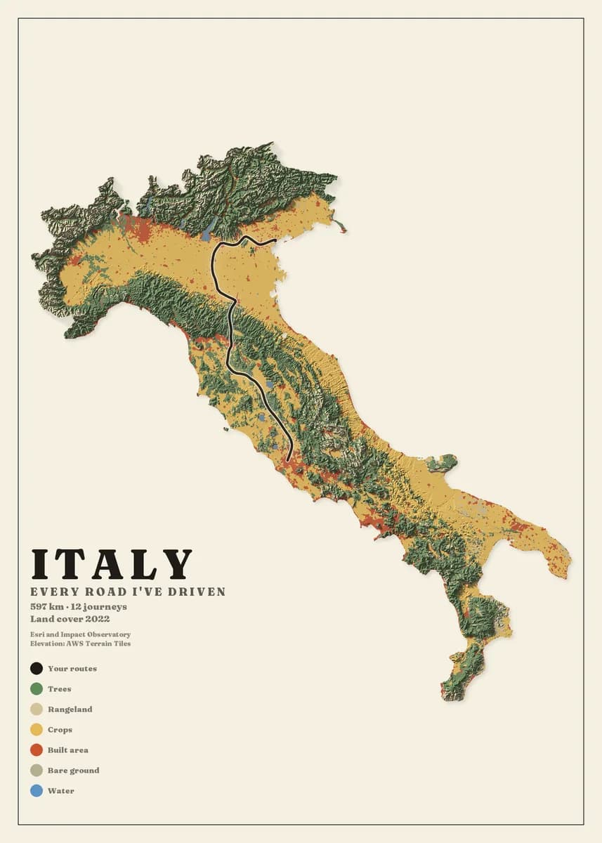
Your roads, not the road network
Only the roads you drove are drawn. A country where you took one coast road shows one coast road, which is the point.
Waze keeps the whole history
Waze's data export holds years of drives in one archive. The guide walks you through requesting it; it imports as it comes.
A country, or the bit you covered
Frame the whole country or the area you covered most. Mauritius and Spain both fit the sheet, drawn from the same 10-metre data.
Three steps, no design skills.
- 01
Upload your routes
Export your activities from Strava, Garmin, komoot or Waze, or bring a GPX or KML file from any app. Upload one file or a whole archive and we find every route in it.
- 02
Design your map
Choose the area — a city, a mountain range or a whole country — then the map style, colours, frame and title. The preview updates as you go, and designing is free.
- 03
We print it and deliver it
Your map is printed to order at 300 dpi on heavyweight matte art paper, then framed, hung on a wooden hanger or rolled in a tube, and delivered to your door ready to hang.
Designing is free. Rolled prints from €49, framed from €119, delivery included. Every size and price.
Before you upload your road trips files
Google Timeline's current export is a JSON file we cannot read yet. Google Earth and My Maps export KML, which we read. Waze's data archive is the fullest driving history we read today.
Yes. Draw your own frame around the area you want and every road inside it is drawn. The gallery's widest frame is 743 km across; a custom frame can be wider.
Exactly the same. The Alpine passes sheets in the gallery are nine days of riding around Bormio, 698 km on a 46 km frame.
Your road trips could be next.
Upload your files and see your own map in about a minute. Designing is free; you only pay for the print.