Sample
One country, one town, one renderer.
Both were made with the same settings a print order uses. The only difference is how far back the map stands: 30 km across against a whole country.
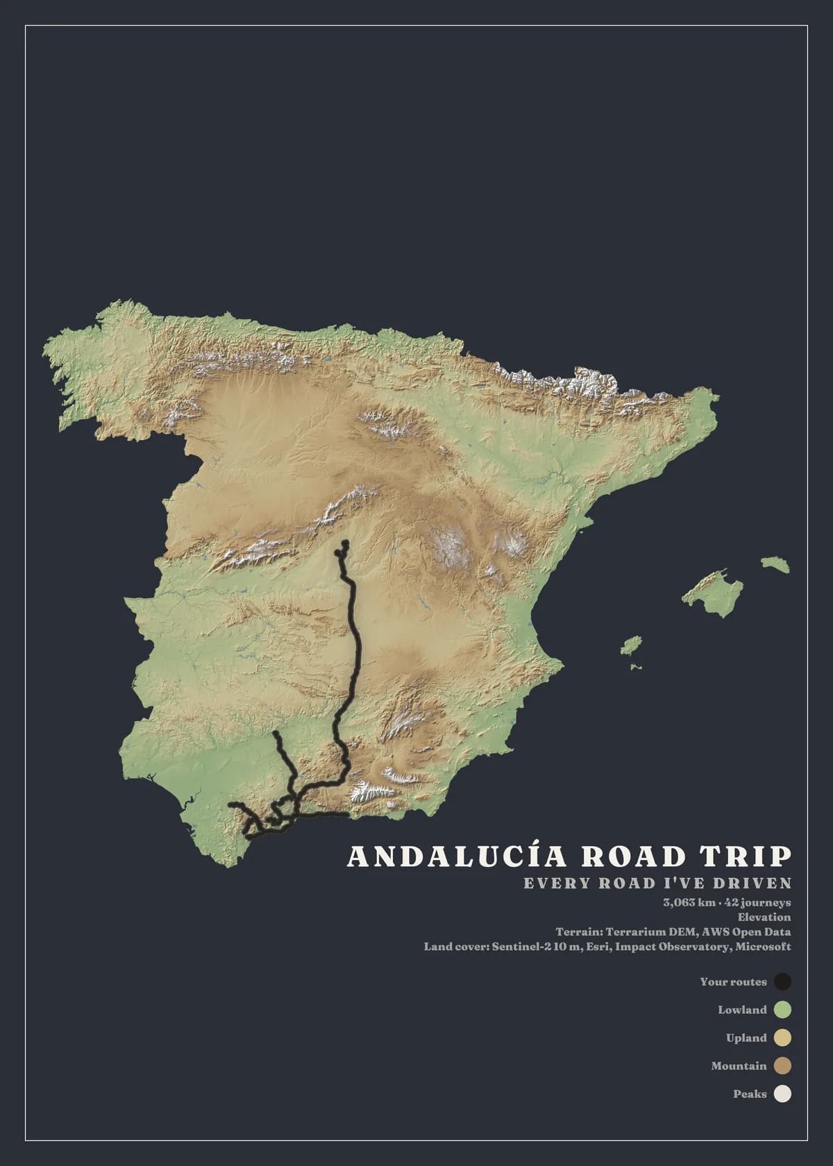
Andalucía road trip
- Activity
- Driving
- Where
- Spain
- Frame
- The whole country
- Printed stats
- 3,063 km · 42 journeys
- Style
- Elevation
- Background
- Slate
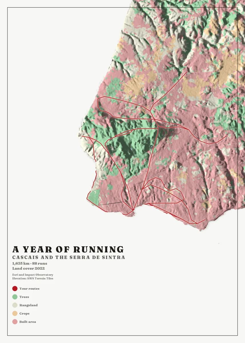
A year of running
- Activity
- Running
- Where
- Cascais
- Frame
- 30 km across
- Printed stats
- 1,635 km · 88 runs
- Style
- Land cover
- Background
- Chalk
What you get
The full studio opens with a free account.
- Bring a Waze archive, GPX from Strava, Garmin Connect or komoot, or KML from Google Earth — then see every outing on a review map.
- Frame a whole country, the area you covered most, or a box you draw yourself, and pick one of nine map styles.
- Paper colour, title, typeface, legend and border change instantly. Route styling takes about five seconds; the map itself about fifteen.
- Download a 5,400 px image of the finished poster, or order a print at full resolution.
Designing is free. You only pay for prints.
The same sheet, hung
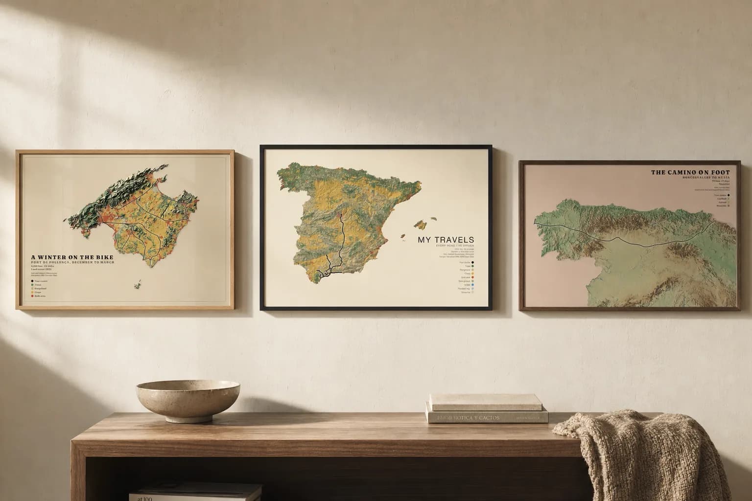
See the whole gallery
18 sheets across 6 countries, and the rooms they ended up in.